Green River, MA
Green River, MA
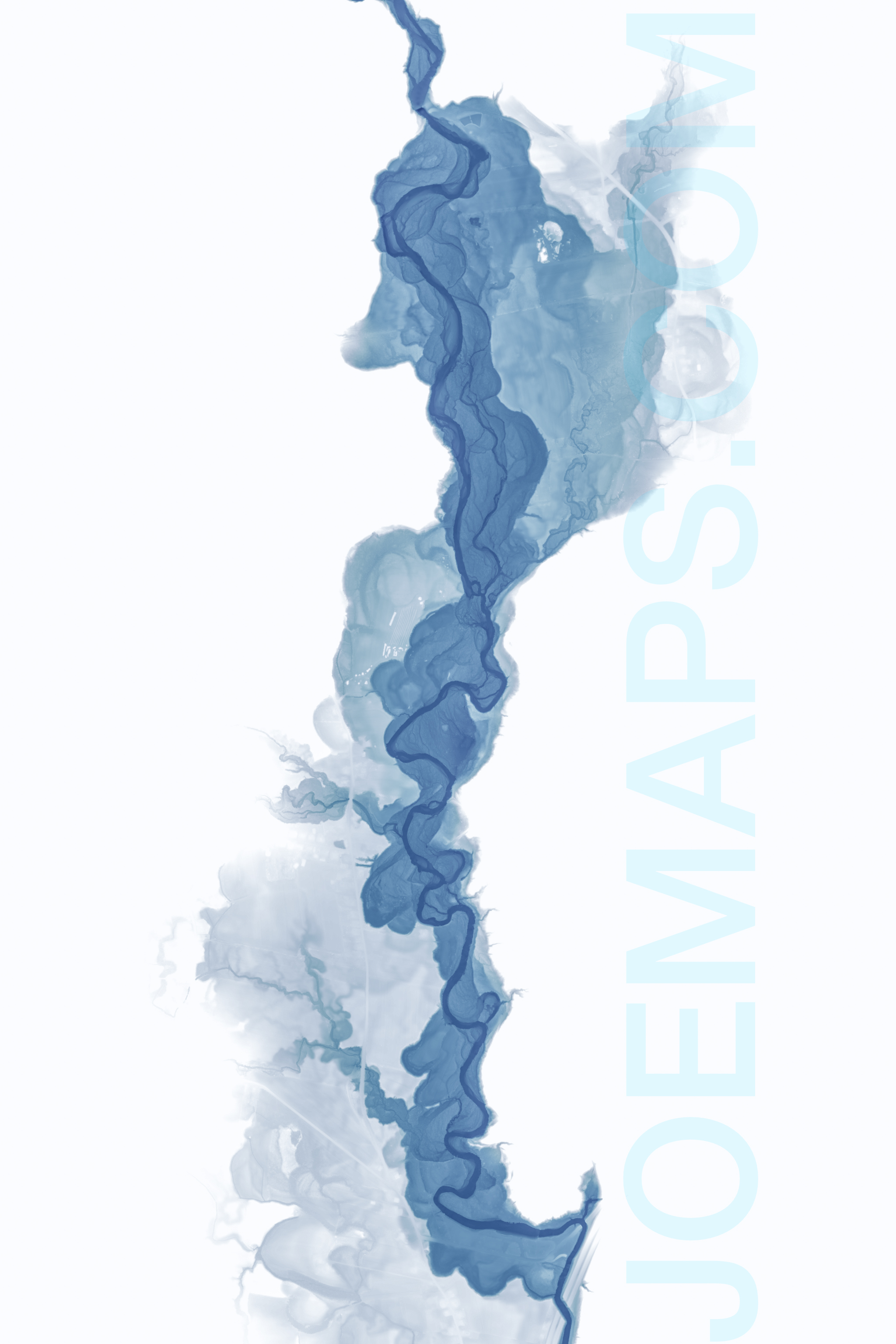
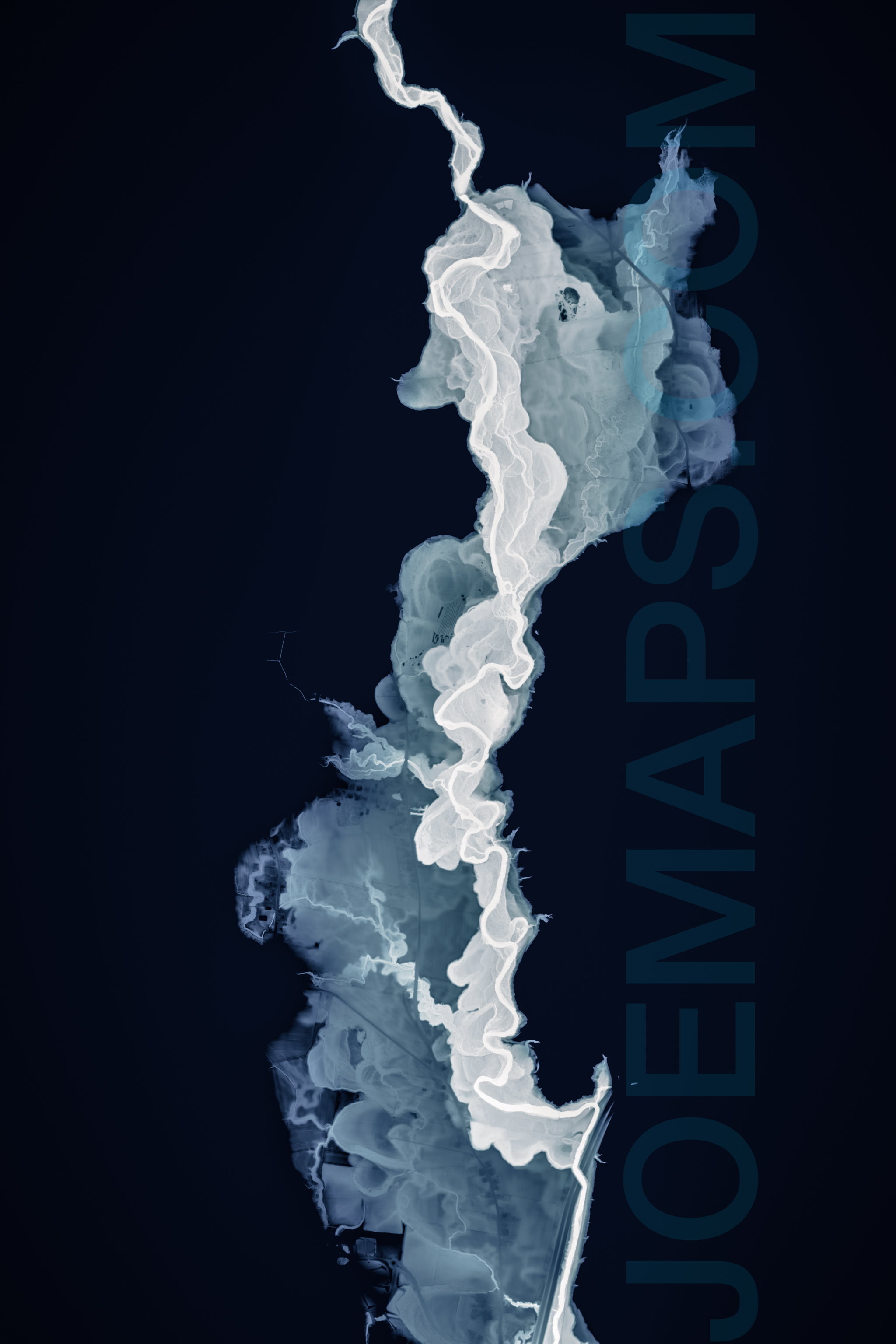
This map shows the Green River flowing south out of its rocky gorge in Colrain and Leyden and expanding into its floodplain in Abenaki and Pocumtuck lands near Greenfield, MA.
The delicate washes and structure bordering the river are evidence of its many meanders since the draining of Glacial Lake Hitchcock ~15,600 years ago. It's a river that has been eroding through its own flood sediments deposited when it was swollen with glacial meltwater and debris as the last ice sheet was retreating north.
I was inspired to make this map after seeing Daniel Coe's work (www.kartopics.com) portraying the Williamette River in Oregon. This cartographic style is used with his permission. This map was made using GIS software and the detailed elevation data derived from LiDAR imagery, collected by the U.S. Geological Survey and MassGIS. The map is primarily an elevation map: On the dark background option, the river is dark blue, with higher elevations at progressively lighter shades of blue and aqua, with everything 35-40 feet above the surface of the river, above its floodplain, masked out.
Smaller sizes of this map (8x12", 12x18") are printed on fine-art paper with a matte finish.
Larger sizes (24x36", 32x48") are printed on canvas and stretched over a wooden frame, ready for hanging on your wall. They do not include the joemaps.com watermark, or annotations of features.
Shipping is Free!
Prints are shipped directly from the printer to you. Unfortunately we cannot accommodate local pickup or delivery. Please allow up to 3-4 business days for order processing and printing, and up to an additional 5 business days for shipping. While I cannot accommodate faster processing times, please contact me prior to ordering if you need faster shipping options.